What kind of round and point-to-point hikes tips are you looking for in Innsbruck?
Hiking
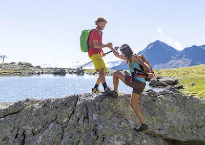
Lace up your boots! Mountain and family walks, themed trails and summit tours around Innsbruck. We only show tours you can reach by bus and train, climate-friendly.
264
Trailrunning
Light-footed through the mountains: trail running loops in the Innsbruck region – from gentle valley rounds to sweaty vertical chases. Laces tied? Then run!
26
Point to point hiking
From A to B instead of in circles: hikes from one stop to the next. At the end public transport carries you comfortably back – simply set off and be amazed!
128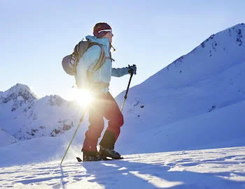
Ski touring
Silence, snow and one goal: the ski tours of the Innsbruck region take you up step by step – the descent is your applause. Skins on, mind clear, off you climb!
59
Winter hiking
Crunch, crunch: winter hiking trails in the Innsbruck region lead you through glittering snow to the next hut. Hat on, thermos packed – off you trudge!
29Don't miss these!
Our tips for hikes – handpicked and all easily reachable by bus & train without many transfers.
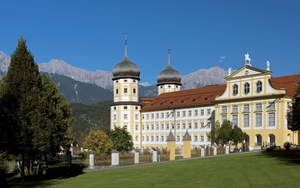
The Way of St James 'Tirol-Allgäu' from Stams to Obsteig
For some years now, there has been a variant route option along the Way of St. James that leads from Stams to Oberstaufen via three alpine passes: Fern Pass,…
Details & route planning →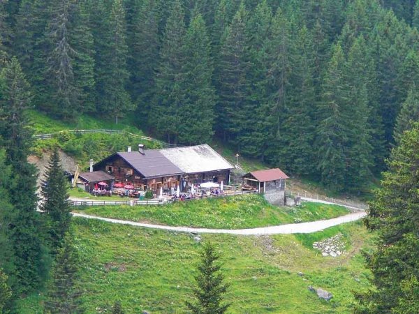
Hike Götzner Alm/Muttereralm/Mutters
From the village centre in Götzens (868 m), a paved road leads to the Götzner Berghöfe farms and a forest road continues on through the forest from there. The…
Details & route planning →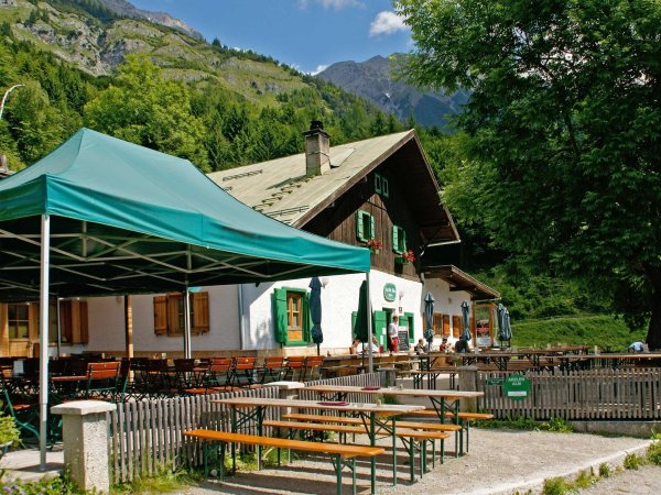
Hike via Arzler Alm to Höttinger Alm
Hungerburg - Arzler Alm - Höttinger Alm
Details & route planning →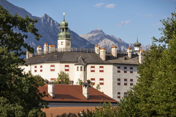
Igls - Ambras Castle Innsbruck
Start in front of Sporthotel Igls in the centre of Igls and walk along Eichlerstraße road to the Kneipp facility. From there, turn right to the tram station in…
Details & route planning →
Patscherkofel
Start in the Kurpark spa gardens and walk up through the Serleswald woods to Lanser Straße road. Cross Lanser Straße and follow Speckbacherweg trail towards…
Details & route planning →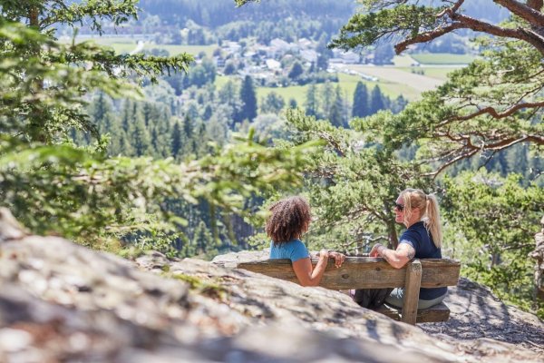
The Lanser Kopf Loop - Permanent IVV hiking trail
A challenging and varied circuit through fields, forests and meadows. The route starts on Bilgeristraße road at the former bottom lift station of the…
Details & route planning →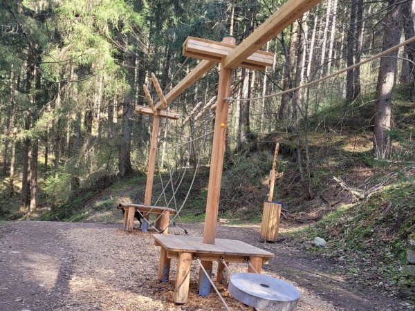
From grain to bread
From the parking lot you walk along the avenue eastward to the shooting range and further uphill to the waterfall. Here starts the theme trail "From Grain to…
Details & route planning →Looking for more tips in Innsbruck? On our homepage, you'll find all the categories and places to visit – all easily reachable by bus and train.
Plan your trip now Pick your destination, we'll find the best connection – based on current transit timetables.Frequently asked questions about hikes in Innsbruck
How do I find hikes reachable by bus & train with NaturTrip Innsbruck?
Want to hike without a car and save both the climate and your nerves? With NaturTrip Innsbruck you can easily find hikes with bus and train access – tailored to your location.
Visit naturtrip.innsbruck.info and choose a category such as Hiking, Trailrunning, Point to point hiking, Ski touring, Winter hiking. Then enter your starting point (e.g. Zirl) or use automatic location detection. On the interactive map you immediately see which tours are easy to reach by public transport from your location.
"Easy to reach" means for NaturTrip:
- maximum 2 transfers
- at most 20 minutes walk to the stop
- at most 20 minutes walk from the stop to the trailhead
Use the filter to refine your search – for example by difficulty or tour duration, but also by travel mode, maximum transfers or travel time for your journey.
That way you quickly find tours that are realistic and relaxing to do without a car.
What types of hikes are available on NaturTrip Innsbruck?
On NaturTrip Innsbruck you find a wide selection of hikes for every level:
- easy tours with little elevation gain
- challenging hikes
- family-friendly routes with adventure value
- themed hikes (nature, culture, history)
All tours come from regional tourism organisations. What this means for you:
- certified quality
- official and well-signposted trails
- no user-generated content
So you can rely on solid, trustworthy tour planning.
Are there also point-to-point hikes (A to B) reachable by public transport?
Yes – NaturTrip is especially strong at point-to-point tours (A to B).
This means: you start at one location and end somewhere else – without having to walk back.
How it works: If you're looking for e.g. a 3-hour hike, NaturTrip only shows tours where:
- the starting point is well reachable by bus and train
- there is still a suitable return connection at the end after the duration of the hike
Advantage: Public transport gives you more flexibility than a car – you don't have to return to your starting point but can discover new paths.
Which travel modes does NaturTrip support in Innsbruck?
In Innsbruck NaturTrip lets you choose between the following travel modes: bike, public transport (bus & train), walking.
This way you'll find round and point-to-point hikes that match your preferred way of getting around – whether climate-friendly by bus & train, by bike, or combined.
You can change the travel mode any time in the filter – NaturTrip then only shows tours that are realistically reachable with your preferred mode.
How to discover car-free hikes in 5 steps
Finding and planning car-free round and point-to-point hikes with NaturTrip is easier than you think. Reach them comfortably by bus and train – without transfers if you like.
-
Open NaturTrip Innsbruck
Go to the homepage and select a category from the hikes section.
-
Enter your starting point
Enter your accommodation, your home, or your current location as the starting point.
-
Results list with public-transport overview
NaturTrip Innsbruck now shows you all hikes that are well reachable by bus & train from your location at the current time.
Including an overview of:
- how long it takes to reach each suggested tip
- which modes of transport you'll use
- how many transfers are required
-
Optional: adjust the filter settings
Departure time settings:
- Date and time can be set in the future.
hikes settings:
- Difficulty: easy, moderate or difficult
- Duration: 30 minutes up to 10 hours
Bus & train arrival settings:
- Maximum travel time: 15 minutes up to 2.5 hours
- Maximum transfers: direct connection, max. 1 transfer, or max. 2 transfers
- Travel mode: bike, public transport (bus & train), walking
-
Pick hikes and check the connection
Found suitable hikes in the results list? Simply click – in the details you'll find the route description, photos, the GPX track for download and further tour properties.
As a final step, click the "Arrival" button to see all bus and train connections for the hikes from real-time timetable data – clearly displayed on the map and as a detailed journey timeline showing all stops, transfers, walking times and departure times.
Just pick your tour and head out – climate-friendly, no car needed!
Go hiking by bus & train from the main towns in Innsbruck
Many round and point-to-point hikes in Innsbruck are easily accessible by public transport. Not just from larger towns – there are direct connections to popular trails from many stops. Go hiking by bus & train…
- from Innsbruck Hauptbahnhof
- from Götzens Haltestelle Dorfplatz
- from Axams Dorfplatz
- from Mutters Bahnhof
- from Natters Bushaltestelle Dorfplatz
- from Aldrans Bushaltestelle Dorfplatz
- from Lans Dorf Bushaltestelle
- from Rinn Kirchplatz Bushaltestelle
- from Sistrans Dorf Bushaltestelle
- from Zirl Bahnhof
- from Rum Dorfplatz Bushaltestelle
- from Völs Bahnhof
- from Kematen in Tirol Bahnhof
- from Kühtai Busterminal
- from St.Sigmund im Sellrain
- from Obsteig Gemeindeamt Bushaltestelle
- from Mieming Gemeindeamt
- from Bahnhof Telfs-Pfaffenhofen
- from Silz Bahnhof